|
0 Comments
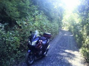
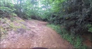
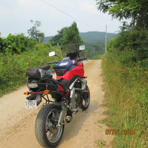
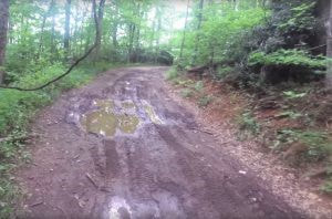
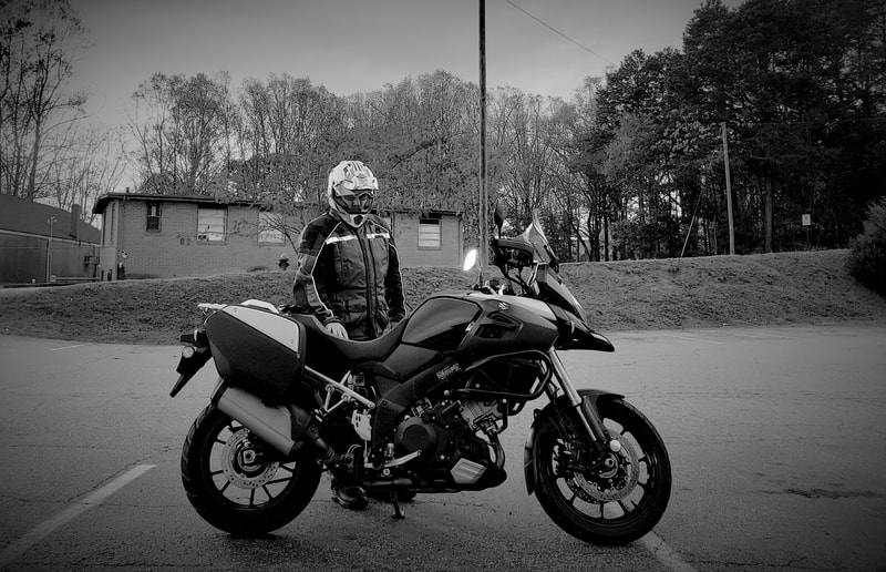
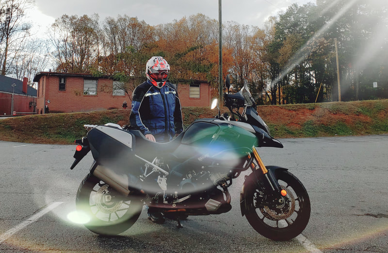
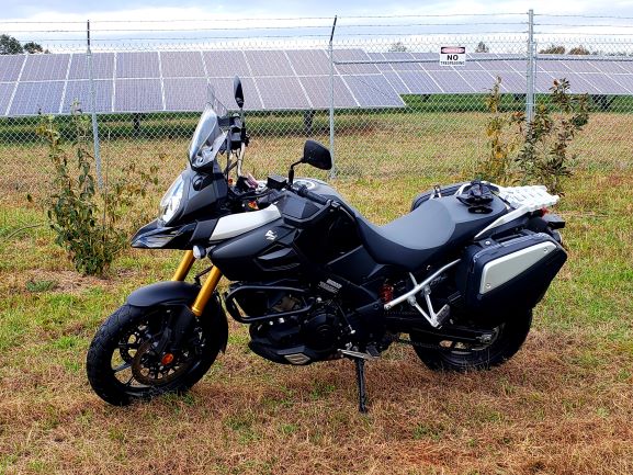
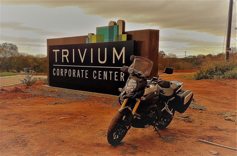
BikeBandit Guest Blogger Series: The Lost Trail of Deceptionby BUB | Oct 4, 2018 | Lifestyle | 0 comments Many moons ago, Oct of 2010 to be exact, Mickey and I were riding in the mountains north of Marion NC around the Blue Ridge and we decided to head over to Spruce Pine. I had a GPS, can’t remember if Mickey did or not but it directed us on some roads [this was an automotive unit—not motorcycle specific] and we followed the route it showed us. Soon the road became a narrow 2 lane and then a narrow 1 lane and then dirt. I was riding my Suzuki V-Strom and Mickey was on his BMW GS 1150. Both supposedly road and dirt machines. If you look at the pix with my V-Strom you can see what the road was like, and this was the “good” section and the GPS showed a NC state route number!! Soon we were riding on a boulder filled “road?? “, my bike dragged bottom many times and I was hoping we wouldn’t get stuck on top of one! Fast forward to July 1 of 2015. Mickey and I had been trying to find this road again, but could not remember how to find it—-mental block? Maybe. I’d been looking on Google maps and could not find anything that connected from the Blue Ridge to Spruce Pine. Then one evening as I was looking at the Swiss Village site and clicked on map, a Bing map popped up. Hey! Lots more definition on this one and would you look at that!!! It looks like a connection between Swiss Village and Spruce Pine. I jotted down the road names and numbers and vowed to try it out. All of the other CPRs were busy, hurt or in Colorado to ride on the 1st so I decided to go check it out and if the road got too bad I’d just turn around—-ha Early on the 1st of July I fuel up my Kawasaki 650 Versys and head up to the mountains. I’m gradually converting this bike over to a dual sport. Kawasaki touts it as a standard road bike and it does a good job at that. 650 cc, 64 HP and 400 lbs. Perfect for what I want to do. I’ve modified the exhaust to where it exits up high on the right side, installed hand guards, working on a skid plate and will put dual sport tires on. Anyway I’m on the road and it’s a beautiful morning, sunny, no clouds and I’m riding my sickle and chewing a “pickle”?? Wish something else rhymed with sickle. The ride up NC 226a is great as usual, that is one fine bike road. I’m at Swiss Village at the restaurant at the sharp curve and looking for Chestnut Grove Church Rd. There it is, where you turn off 226a to join the Blue Ridge. Hey this is nice, sure glad I came up. Follow it around to where it becomes Dock Howell Rd and oops, I’m supposed to be joining up with Emerald Mine Rd and this road is coming to a dead end. There’s a lady trimming the roses by her entrance gate, I’ll stop and ask her. No, she doesn’t know about Emerald Mine Rd but she says there is an emerald mine you can get to on McKinney Mine Rd. And—she says there is a road just before you reach her place that is named Carver’s Knob Rd but a sign says it’s a dead end. I think I’ll try Carver’s Knob as McKinney goes over to Crab Creek Rd which I know goes over to 19E several miles west of Spruce Pine. By the way, did I mention that it is beautiful here —-beautiful homes and smooth roads and the view over the mountain tops is breath taking! I turn onto Carver’s Knob and sure enough there is a dead end road sign but look up the road a little I see another road going off to the right and its Emerald Mine Rd!! It also has a dead end sign but from what I seen on the Bing map it goes all the way and there is only one way to find out. So I’m finally on the road I was looking for and it is paved and smooth, maybe NC spent some of their gas tax money and paved this road, but then the road ends- the paved road part and a narrow dirt road faces me, oh well. Hey, this is a nice road as you can see by the pix of my bike parked on the road—-traffic wasn’t heavy—LOL! And the next couple of pix with the top of the windshield and the rear view mirror show a fairly nice hard packed dirt road, some large rocks scattered around but nothing bad. —-YET! I come across and dodge some scat and hope that it is horse scat. I’m for sure no tracker and don’t know the difference between goose scat and horse scat or any other that belongs to a large critter that might be living in these parts. Look at the picture with just the top of the windshield showing, notice that the road/trail? Disappears as it drops and turns right. This is where the fun ends and the doo doo begins. Why didn’t I bring my video camera?? There are no pictures of the next few miles because I was too afraid to stop. The road dropped fairly steep and became rutted across from run off, not little ruts, but deep whoop-de-do ruts and the road was still wet from recent rains up there. The ruts were so steep and deep that the bottom of the engine would drag and I was afraid I’d become stuck on the top or the bottom of one. They also had water laying in them and to add to the scene, mud puddles with bottoms I hoped would allow me to cross. Why didn’t I turn around?? The road was steep and narrow, the ruts and mud holes plentiful, right side was upside mountain and left side was downside mountain, i.e.: deep and steep canyons. AND I was afraid to stop, afraid that I wouldn’t be able to get moving again! Had to keep moving, thinking that if I fell down, especially to the left as the road sloped to the left, I wouldn’t be able to pick the bike up. And of course being where I was you can be assured that there was no cell signal. Why did I come up here alone? Why didn’t I tell Margie where I was going or attempting to go? If I crashed would I be able to walk out? Were there any hungry bears around? The ruts and mud puddles ended, good right? Wrong! Now there were large rocks everywhere. Which way does the road go? Maybe I’ll see some scrape marks or tire rubber where a 4 wheeler spun his tires. There’s some crushed rock over there, I’ll go that way and soon the makings of a trail became obvious. Whew, oh yes, during this the GPS is showing a purple trail through here although a couple of times it showed the road going over the side down into a gorge. GPS and mountain trails don’t always match. Grounded the bike out several times but I was going slowly so no damage. I really goofed up on this one, should have never attempted this alone, the adage that age makes one wiser is not always right. At least in my case. Finally! After what seemed like hours and hundreds of miles the road got back to being a proper dirt road. Cruise along and soon it T’s into a paved road. Wow, does that asphalt look good! And the GPS is showing the correct road as there are soon several, a rural neighborhood, and I make it out to US 19E a mile or so west of Spruce Pine. Found the long missing road from Swiss Village and Spruce Pine. Yea!! Been doing some adv lite riding in under construction industrial parks. Turned out too muddy this time at the new Trivium industrial park on Startown Hwy. The new bypass being graded around Shelby is another good one. Found a few roads around this solar farm.
My grandson Hendrix is really growing up. Check out the difference between kindergarten and 1st grade school pictures.
|
AuthorSteve at [email protected] Ride Long and Prosper! Archives
April 2020
Categories |




 RSS Feed
